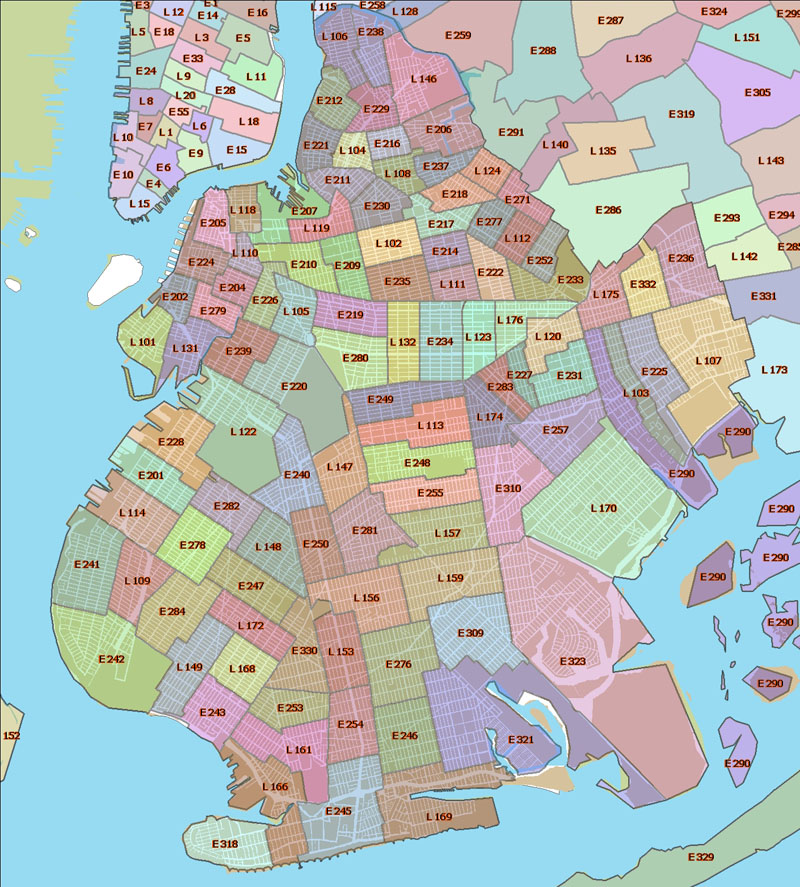
NYPD PRECINCT LOCATOR
MAPS: NYPD PRECINCTS &
SECTORS
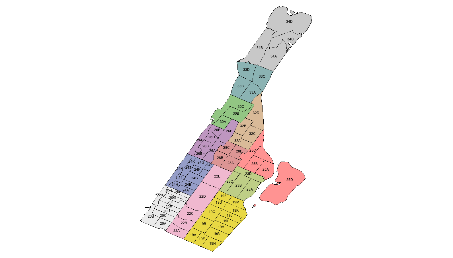
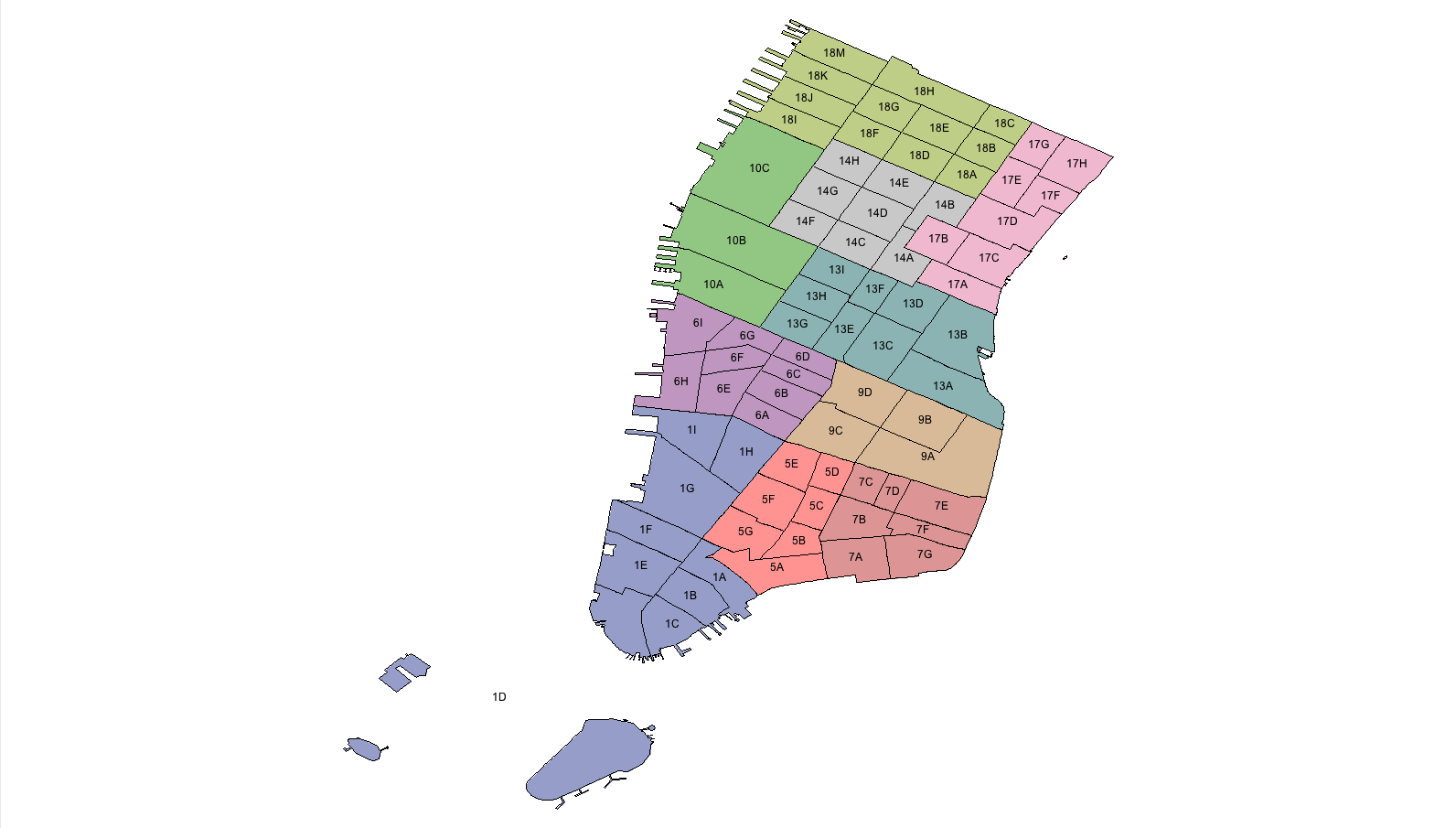
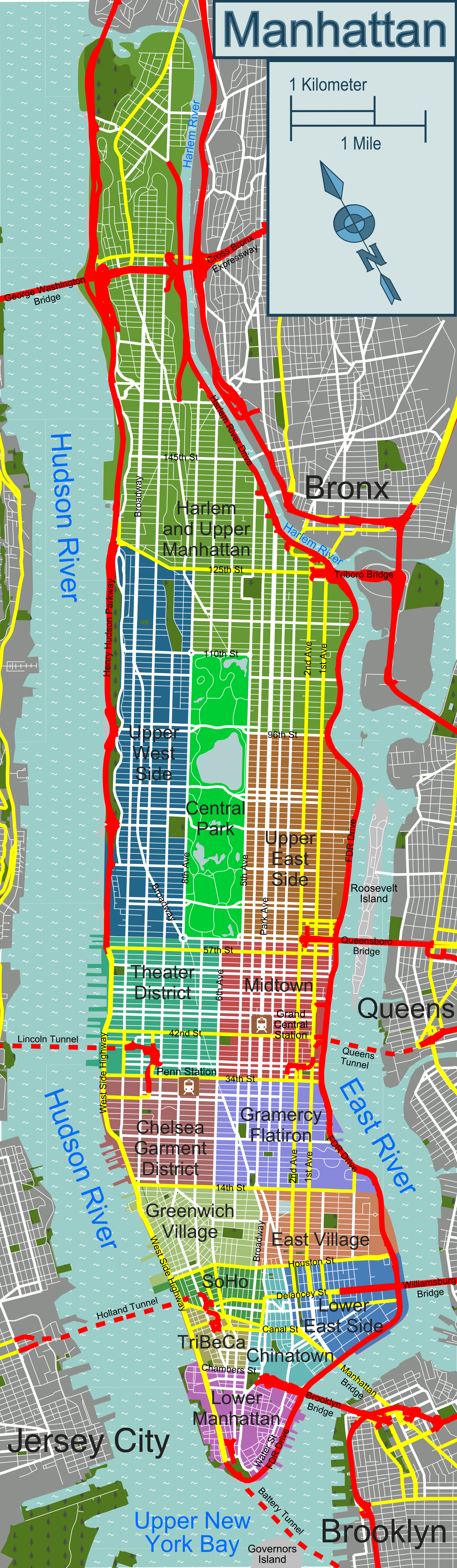
Manhattan
North Manhattan
South
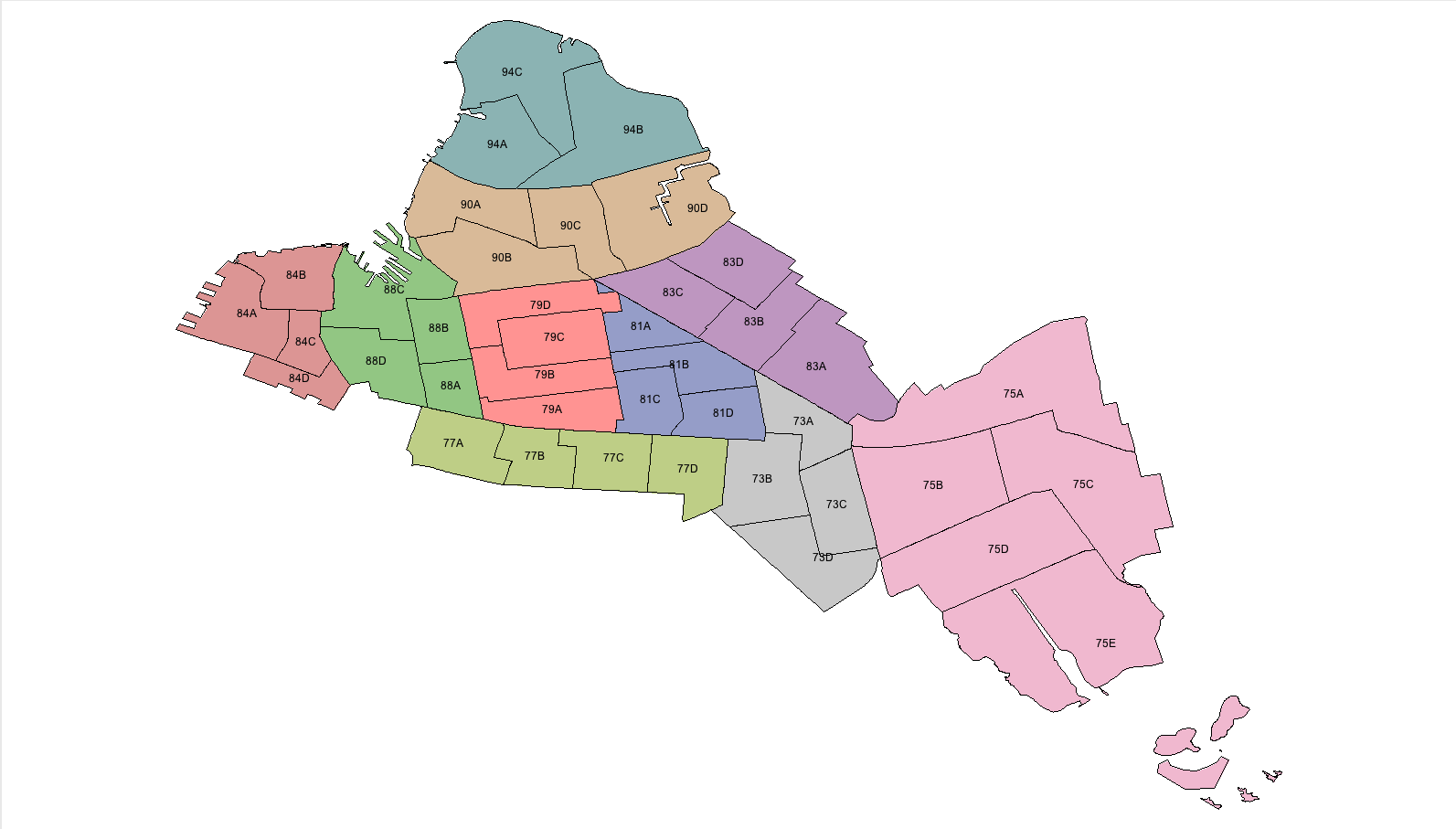
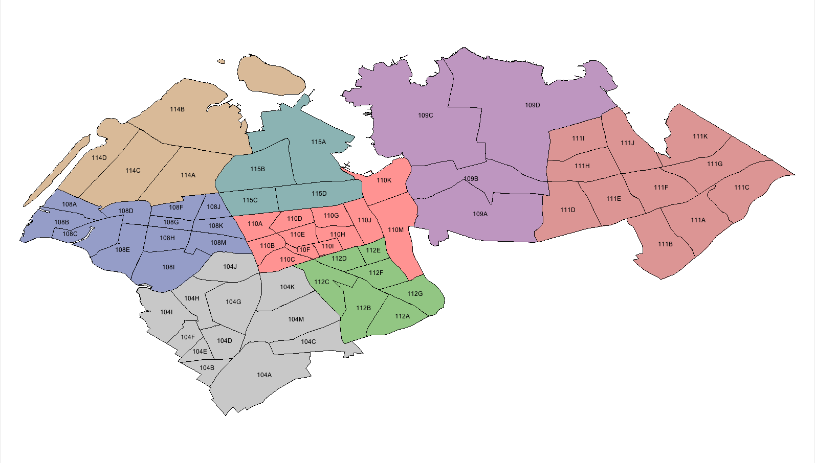
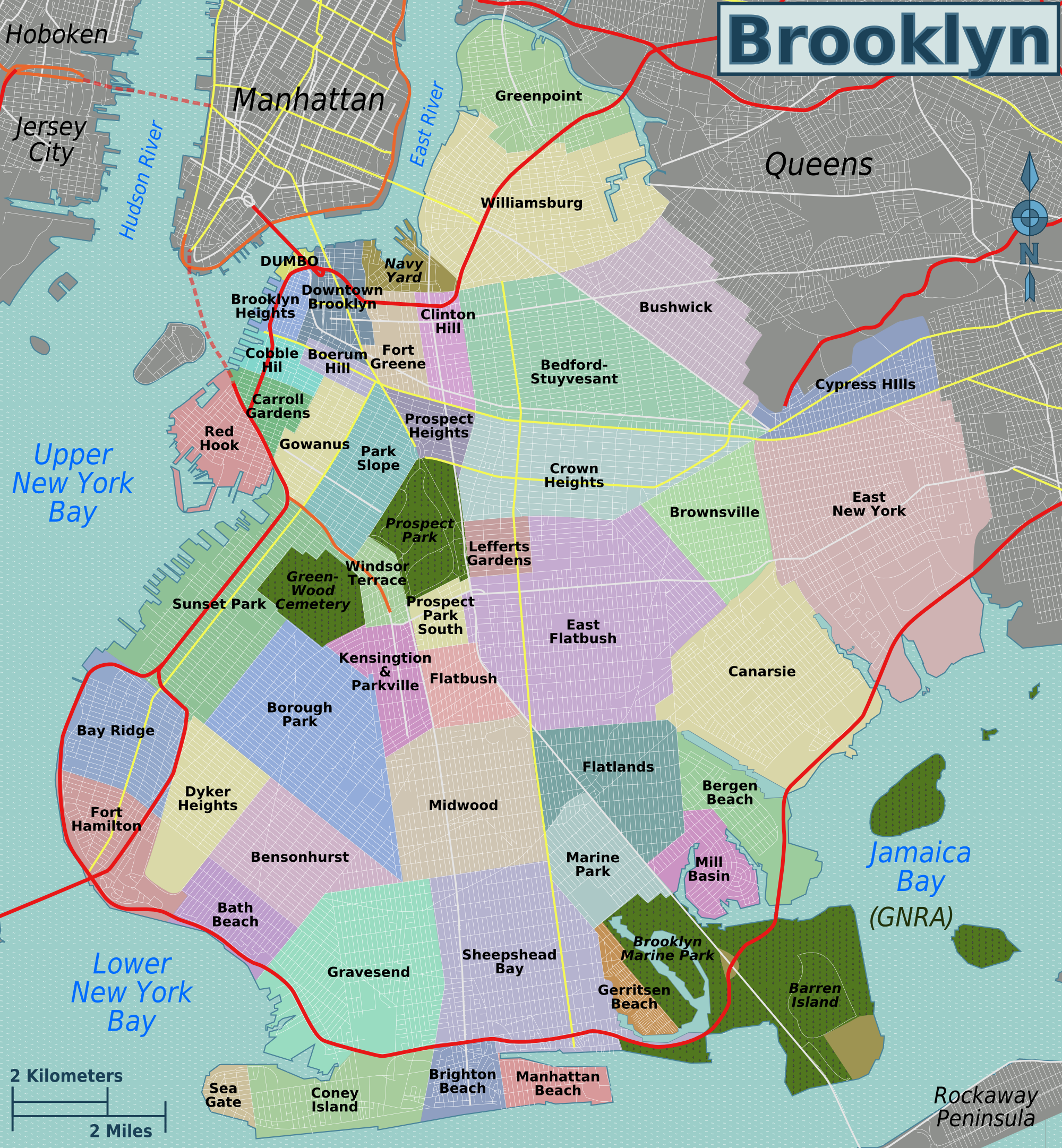
Brooklyn
North Brooklyn
South
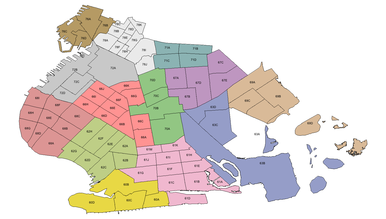
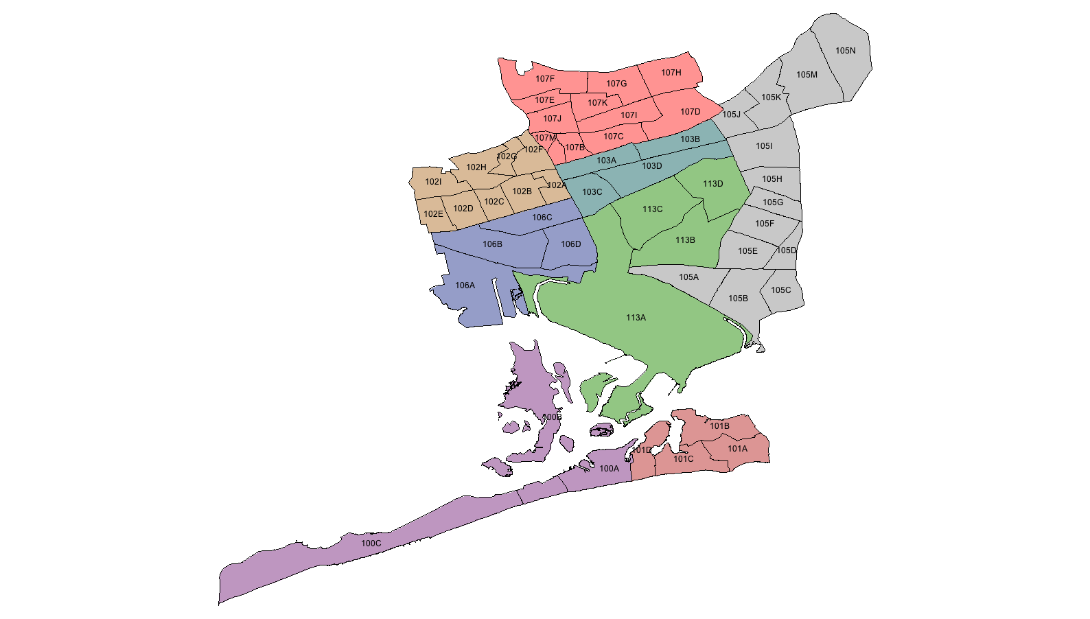
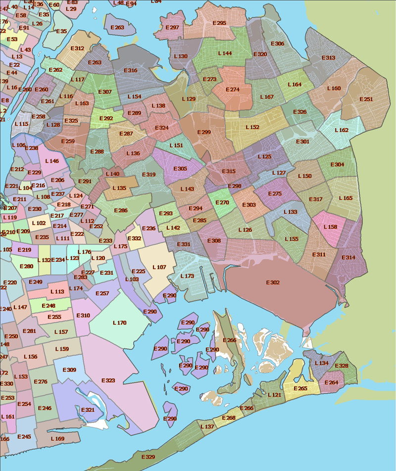
Queens
North Queens
South
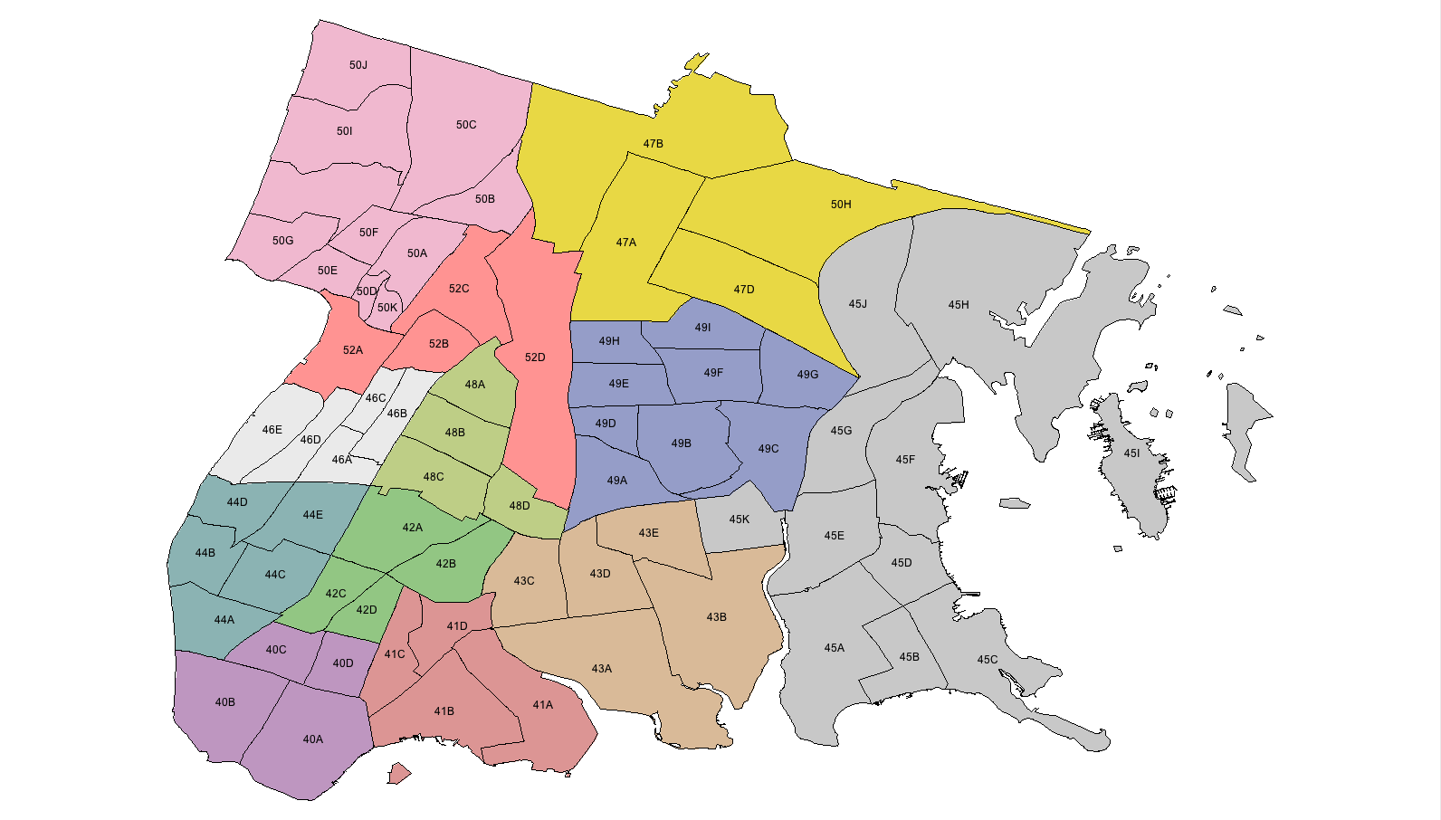
Bronx
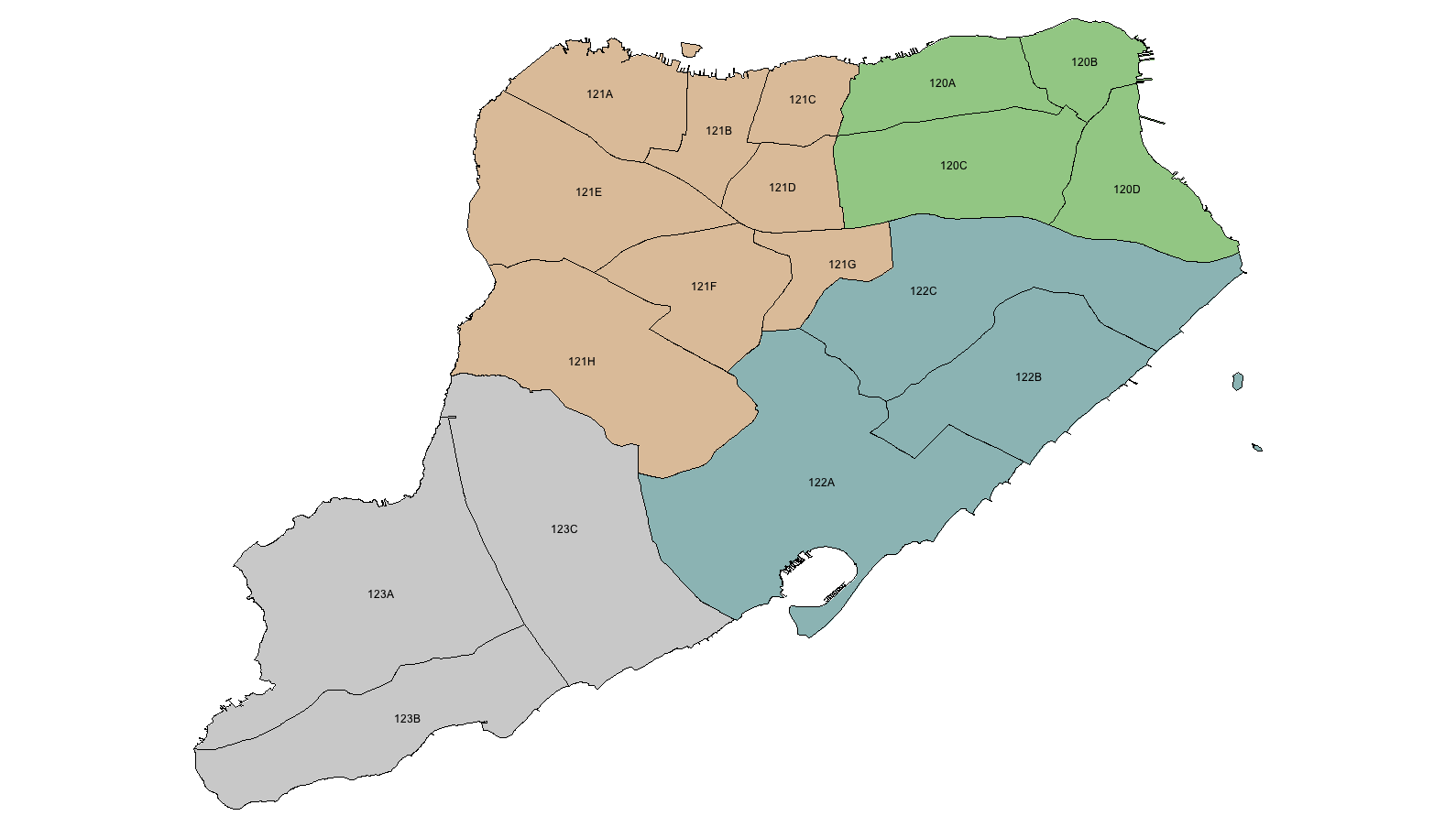
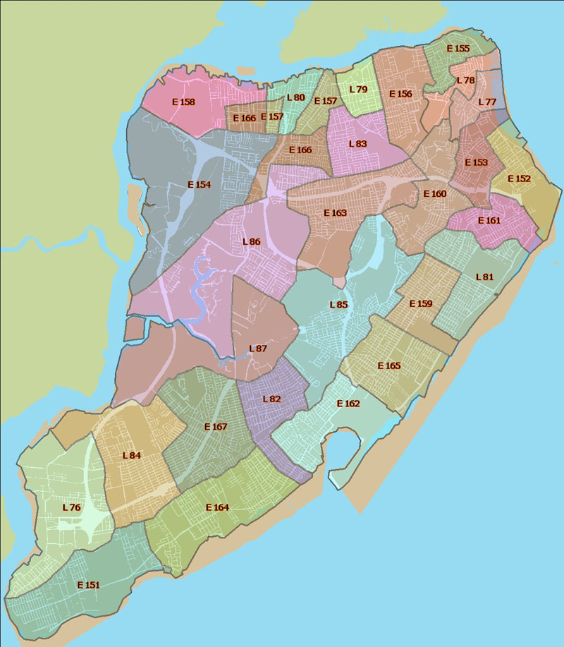
Staten
Island
MAPS: NYPD PATROL BOROUGHS
MANHATTAN
NORTH 953,815 residents 13.1 SqM.
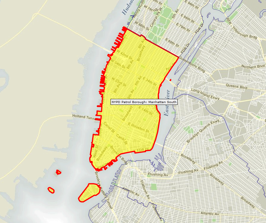
MANHATTAN
SOUTH 611,275 residents 9.3 SqM.
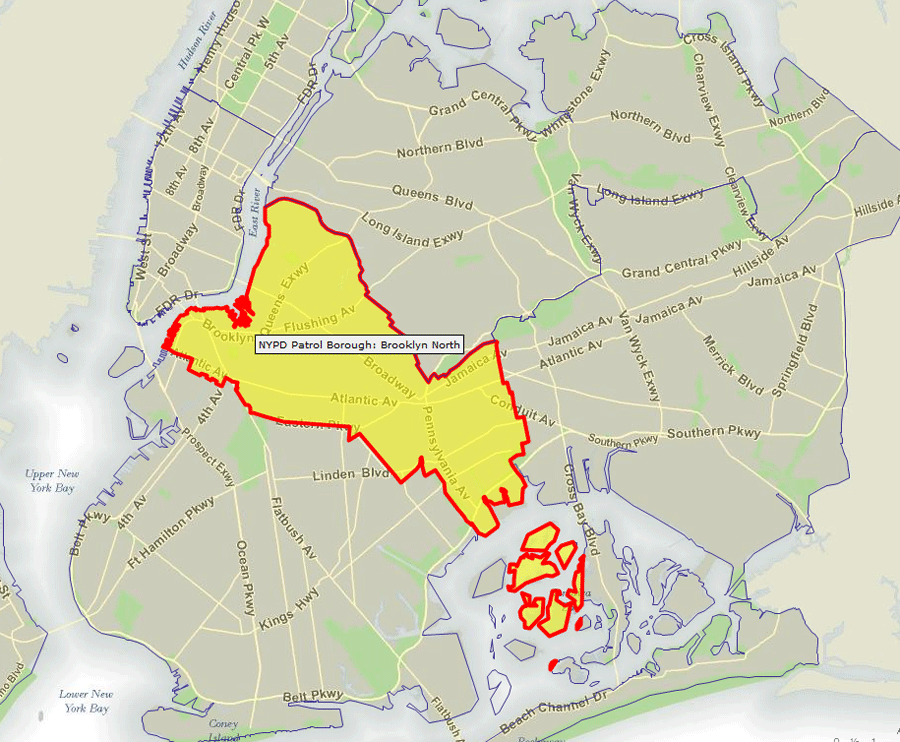
BROOKLYN NORTH
904,424 residents 24.1 SqM.
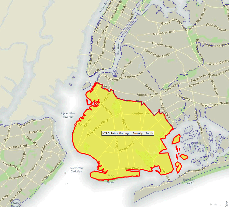
BROOKLYN SOUTH
1,600,276 residents 47.9 SqM.
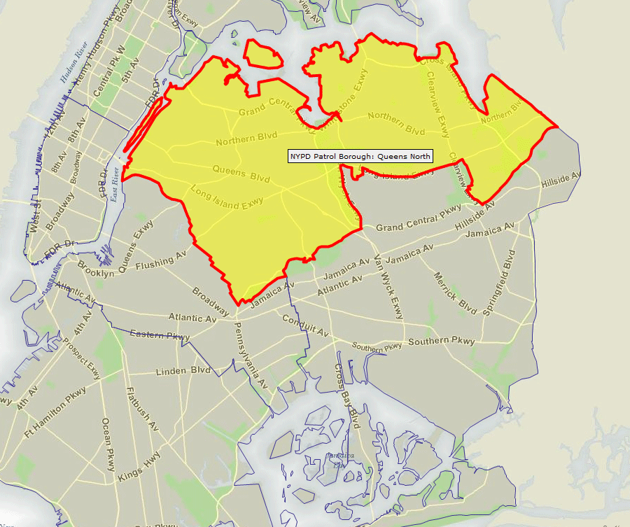
QUEENS
NORTH 1,306,428 residents 51.3
SqM.
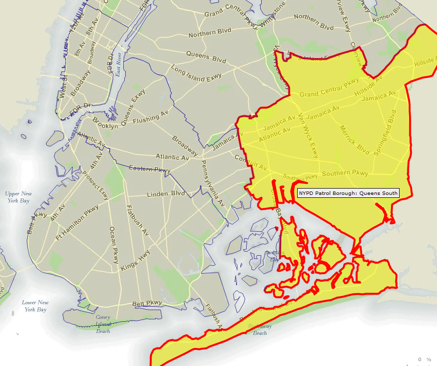
QUEENS
SOUTH 946,879 residents 59.4 SqM.
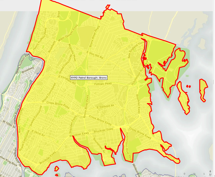
BRONX
1,382,445 residents 41.9 SqM.
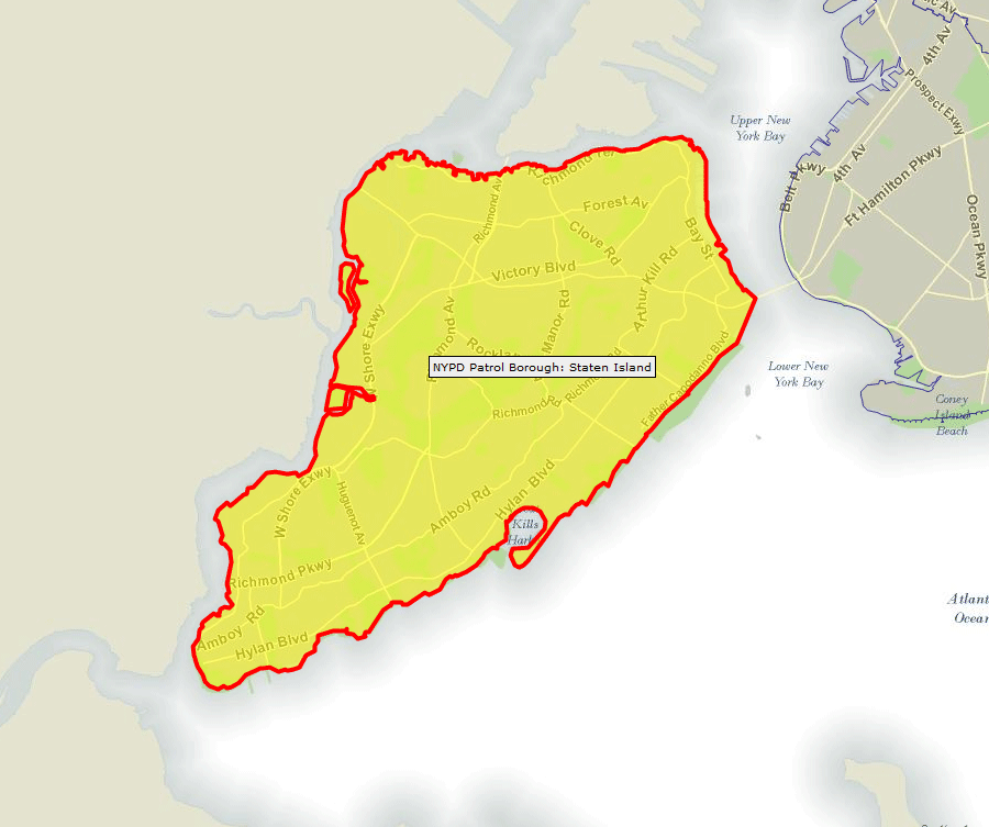
STATEN ISLAND
468,730 residents 59 SqM.
NYPD PRECINCT DIRECT
TELEPHONE NUMBERS & ADDRESS
MANHATTAN 
BROOKLYN
QUEENS
BRONX
STATEN
ISLAND
MAPS: FDNY APPARATUS
LOCATIONS
MANHATTAN
BROOKLYN
QUEENS
BRONX
STATEN ISLAND
MAPS: NYC NEIGHBORHOOD
FULL CITY
MAP
MANHATTAN
BROOKLYN
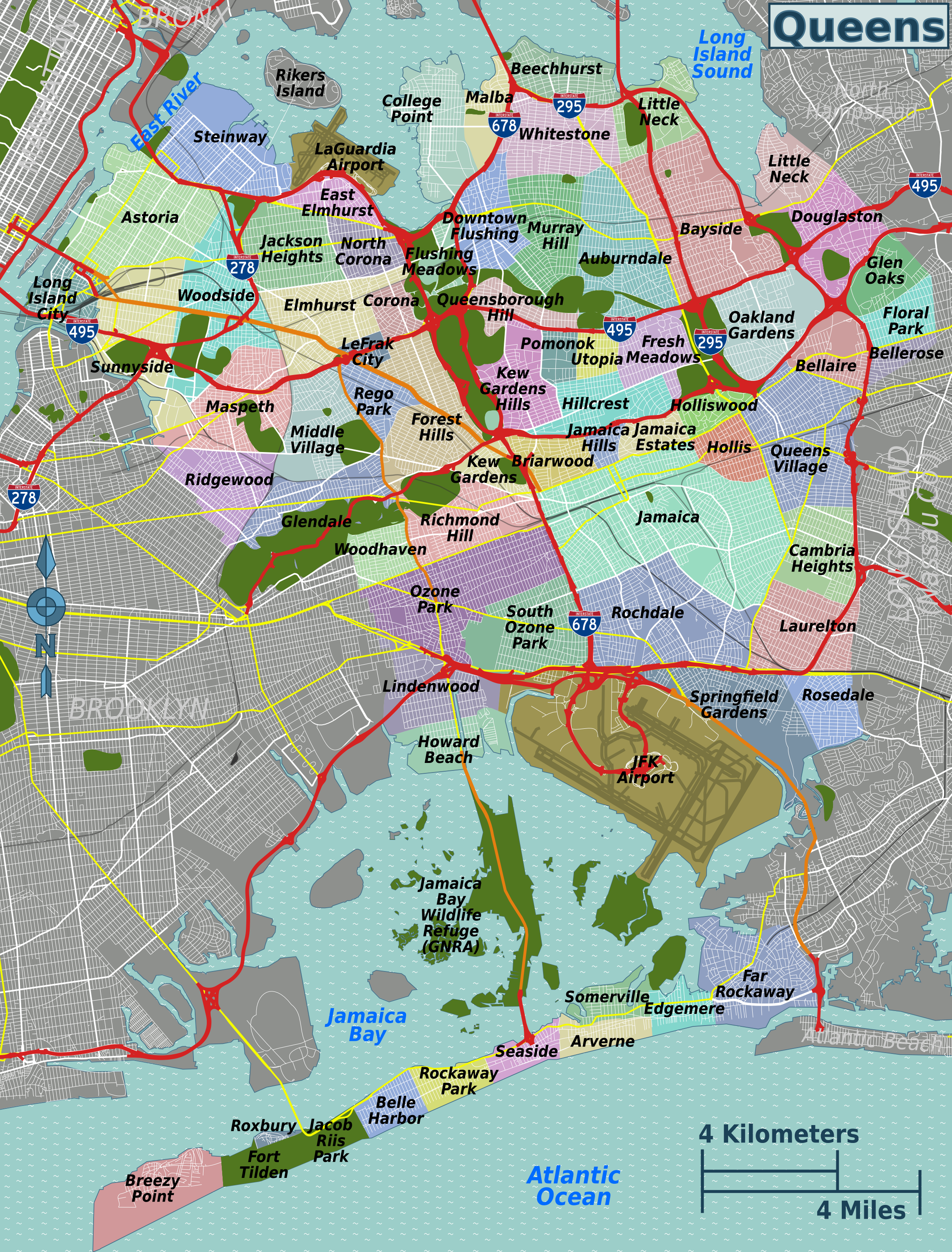
QUEENS
BRONX
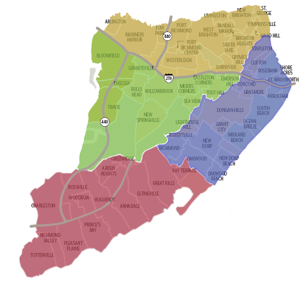
STATEN ISLAND
MISC.
Map: Con Edison
Real-Time POWER OUTAGES
Map:
NYC Hurricane Evac/Flood Zones
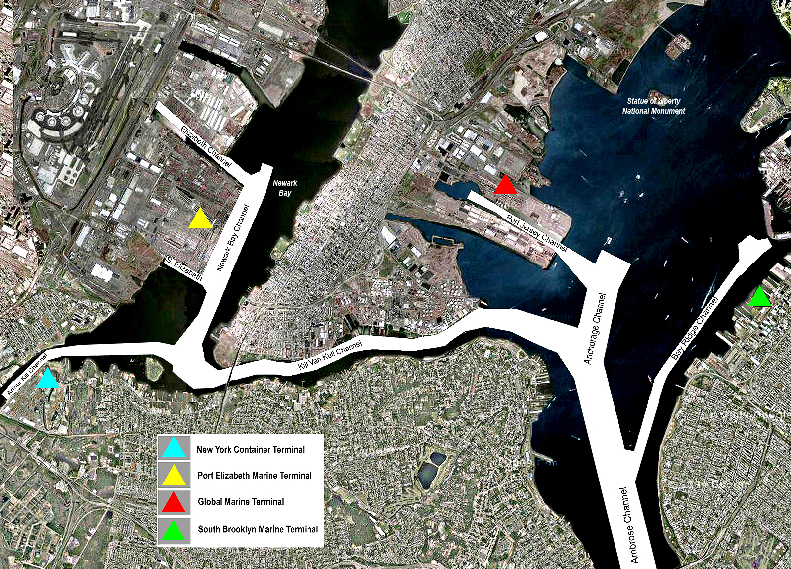
NY Harbor
Shipping Channel Map
Nassau County
Cities (South Shore)
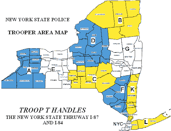
NY State Trooper
Areas
NYCTA Subway
Map (Medium)
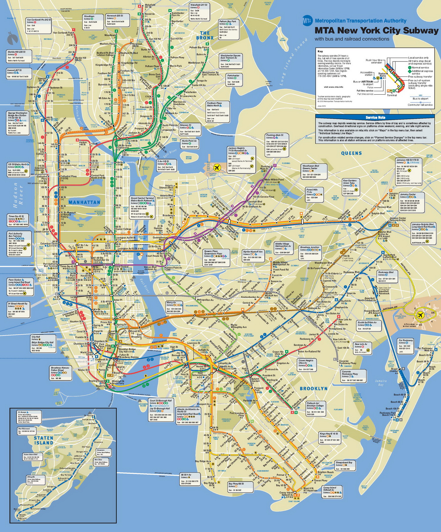
NYCTA Subway Map
(Large)
